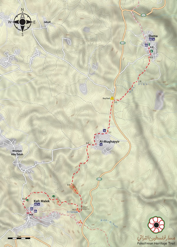
Duma to Kufr Malek

The name Duma means calmness. Indeed, when you pass through this agricultural village its peaceful atmosphere absorbs you.
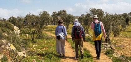
Leaving Duma, the trail winds through Wadi Diba’ (Wadi of the Hyenas) and several pleasant olive orchards on its way to Mughayir, a Palestinian village whose name means, roughly, the changing one, due to its location on the border between the arid climate of the Jordan Valley and the Mediterranean climate of the Palestinian highlands.
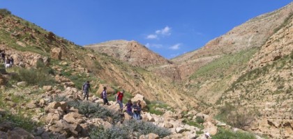
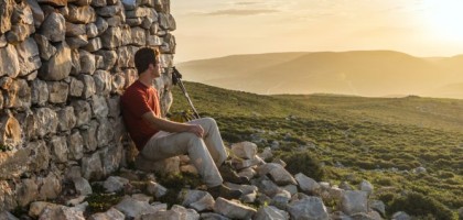
Descending from Mughayir to the Ein Samia Valley, the trail passes the remains of Roman aqueducts and Byzantine mosaics on its way past Ein Samia (Samia Spring), before ascending a tight, rugged wadi on the way to Kufr Malek. There, after a long climb, hikers are rewarded with spectacular views of the surrounding area.
For the hike take:
- at least 3 liters of water
- snack
Duma can be reached from Nablus with a shared taxi for 10 NIS.
Check the weather before you go. Always remember about sun protection (sunscreen, hat, sunglasses). During the summer season wear light but modest clothes. During the winter season remember about a warmer jacket – mornings and evenings are usually cold.
-
Topo map
-
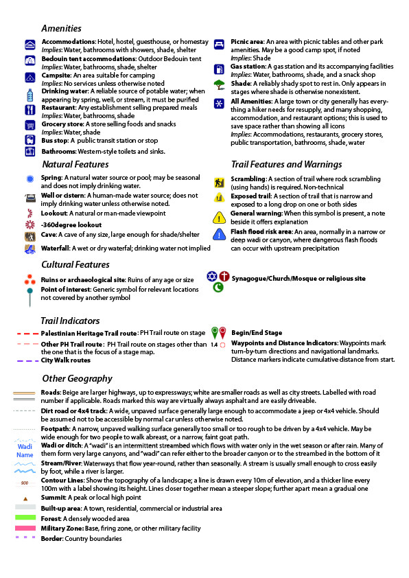
Map legend
-
Walking notes
-
Elevation profile
-
GPX File


