Maps and Navigation

Maps
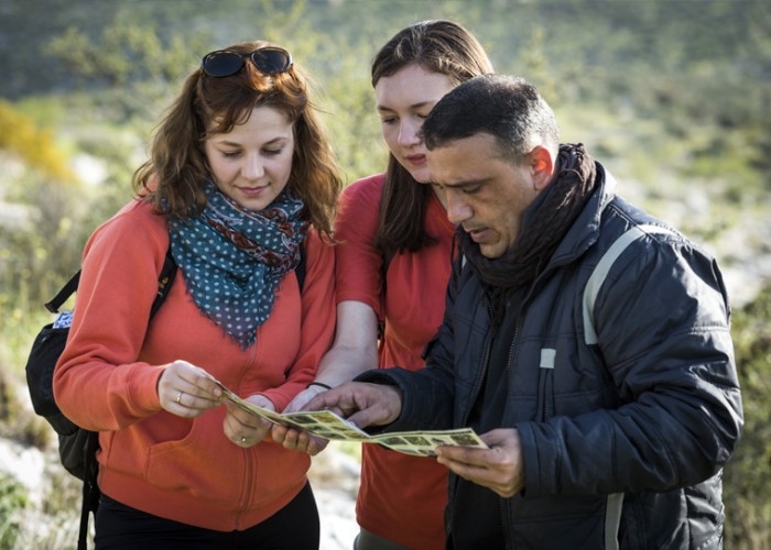
We provide a set of hiking maps showing topography, landmarks, streambeds, dirt roads, accommodations, grocery shopping, etc. which are important to have. Maps are divided into shorter, day hikes of 10-20km. On the final points of each of the stages, hikers usually can find accommodations such as homestays partners of Palestinian Heritage Trail or public transportation, or access to roads. The only exception is in Khirbet al-Mird, where the Cave is the only overnight accommodation available.
Elevation profiles can be found on this website as well. These profiles provide information about the ups and downs of each trail section. We also publish walking notes corresponding to each map.
Despite that the Palestine Heritage Trail is clearly way-marked, a GPS unit can still be helpful especially as a safety precaution. The website contains downloadable GPS data for The Palestine Heritage Trail routes.
Safety
Navigation is a safety concern, so be smart and confident in whichever method you choose to hike the trail.
It is recommended to have relevant topographical maps in hard copy form on the trail at all times. Ideally, each member should have a map in case the group becomes separated, but certainly, two members should carry physical topographical maps.
It is unwise to rely entirely on one navigation method. Waymarking symbols can fade, go missing, or be obscured, GPS units can run out of batteries, malfunction, get wet, fall off a cliff, etc., and maps can get wet, tear, or be lost. Be confident in at least two navigation methods on the trail.
If you are not confident with your ability to independently navigate a trail, hiring a local trekking guide is always an option. Local trekking guides know the trail and terrain very well, and they can provide you with historical and cultural context as you walk, which will add depth and richness to your hiking experience.
Waymarking
A waymark is a symbol or sign marking the route of a footpath. The Palestinian Heritage Trail hiking trail uses the system of waymarking to denote the specific route and direction a trail follows. Besides the road sign, there may be a sign or informational board to provide certain information about a historical location, geographic details, or other points of interest.
Most of the sections of the trail are already waymarked. The Palestinian Heritage Trail had adapted the same waymarking system used in various European countries, such as France and Spain. The specific symbol, a red and white stripe, indicates that The Palestinian Heritage Trail is a long-distance hiking trail.
Be sure to become familiar with the specific symbol or style of the trail marking before relying solely on the waymarking. As a general rule, if you hike for an unusually long period without seeing another marking, return to the last marker you saw and assess if you may have taken a wrong turn somewhere.


